Church History Sites in all 50 States
Visiting church history sites can be an important way to connect with your religious heritage. And you don’t have to visit Utah or the Northeast to find important sites. LDS.net has gathered church history locations from all 50 US states!
Plan a trip, or make a special visit as part of a vacation you’re already planning. Choose a state below or read through from the start.
AK | AL | AR | AZ | CA | CO | CT | DE | FL | GA | HI | IA | ID | IL | IN | KS | KY | LA | MA | MD | ME | MI | MN | MO | MS | MT | NC | ND | NE | NH | NJ | NM | NV | OH | OK | OR | PA | RI | SC | SD | TN | TX | UT | VA | WA | WI | WV | WY
Alabama
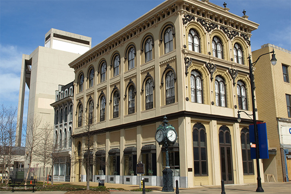
On October 7, 1839, Lysander Davis delivered the first LDS sermon in the state of Alabama on the steps of the Montgomery county courthouse.
The courthouse is no longer standing, but there is a small pavilion to honor Rosa Parks where it used to stand.
32°22’39.9″N 86°18’32.5″W
Alaska

Edward G. Cannon served an eight-year mission around Alaska in a “tabernacle on wheels.” The mission began when he baptized his companion Kedzie N. Winnie in the Bering Sea off Nome, Alaska.
The best views of the area are behind Polar Café in Nome.
Arizona
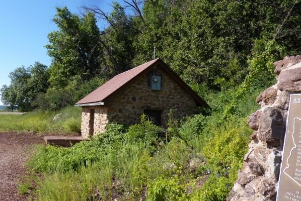
A dairy was established during the early Mormon colonization of Arizona. From 1876 to 1886 the dairy produced large quantities of cheese and butter for Latter-day Saint settlements in the surrounding area.
The dairy was located just off of Mormon Lake, about 30 miles southeast of Flagstaff. While the dairy is no longer standing, a water pump now occupies the same location.
Arkansas
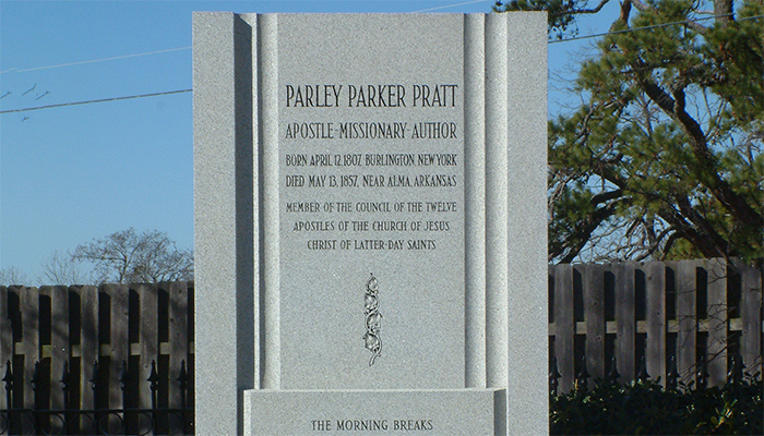
One of the first of the newly called Twelve Apostles, Parley P. Pratt was beloved among the Latter-day Saints for his missionary zeal. When he was murdered in Arkansas, it had a dramatic effect on the minds and attitudes of the early saints.
This church history sites is now a marker now at his gravesite in Alma, Arkansas.
California
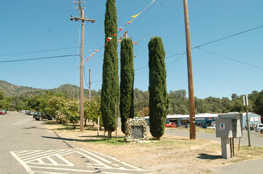
In 1849, former members of the Mormon Battalion came to an area now known as “Mormon Bar,” to find land to farm. But instead they found gold. Before gold prospectors kicked them out of the area, Samuel Brennan collected “tithing” from the gold find, but pocketed the money instead of giving it to the Church.
A historical marker can be found on the south side of the Mariposa County Fairgrounds.
Colorado
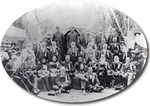
A group of saints from Mississippi traveling to Salt Lake spent the Winter of 1846-1847 in Pueblo, Colorado. They cared for sick members of the Mormon Battalion that traveled through the area.
A marker commemorating the event can be found near the boat entrance at Runyon Lake Park — though local Latter-day Saints are considering moving it to the nearby Historic Arkansas River Park that gets much more foot traffic.
Connecticut
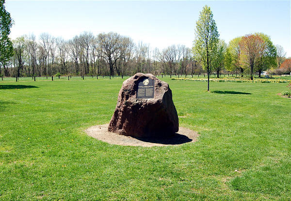
Wilford Woodruff, the fourth president of the Church, was born between Avon and Farmington Connecticut.
A beautiful stone marker now sits at the site of his family farm, about three-quarters of a mile from where the house was located.
Delaware
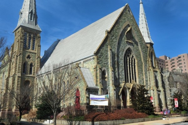
The first LDS meeting in the state of Delaware. They continued to meet in this location for five years until they rented a space further away from the city center.
The address is now occupied by the rear of Verizon office buildings. But the beautiful Grace United Methodist Church building across the street stood in the same location when the Saints first began visiting the area.
Florida
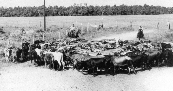
The first and largest ranch for the Church is located in Central Florida just south of Orlando. The ranch was founded in 1950 on barely usable land, but is now a productive agricultural operation.
The ranch is about an hour southwest of Disneyworld, and tours are available during normal working hours. Deseret Ranches suggests you call ahead. 407-498-0388
28° 10′ 53.634”N 80° 52′ 13.317”W
Georgia
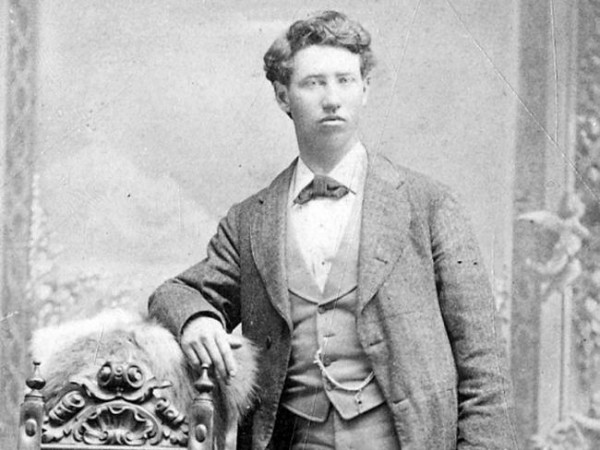
While on a mission in Georgia, Joseph Standing, a 24-year-old missionary, was murdered by a mob of twelve men. While some of the men were brought to trial, all were acquitted. It was said, “There is no law in Georgia for Mormons.”
In 1952 a park memorializing Standing’s life was erected at the site of the murder near the Georgia-Tennessee border, 40 minutes south-east of Chattanooga.
Hawaii
https://www.youtube.com/watch?v=tZvR1sHy2gY
Jonatana Napela, or Napelakapuonamahanaonaleleonalani, was the first native Hawaiian convert to the Church. He served as a valiant missionary, and helped establish the Church on the island. Napela later built the infrastructure to help Hawaii’s leper colony Kalaupapa.
A memorial for Napela, donated by the Catholic Church, now stands in the Administration building of BYU-Hawaii. Though it is very difficult to travel to, Kalaupapa, where Napela passed away is now a national historical park. Those interested in Napela’s life who are stuck on the mainland can visit the Iosepa Settlement, a historic town for Hawaiian pioneers in Utah, where Napela is buried.
Idaho
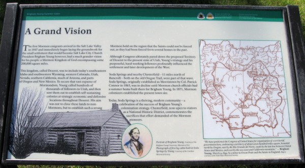
Soda Springs, Idaho, was one of the most successful pioneer settlements. And local saints built a home for Brigham Young when he visited the area.
Also be sure to head a half hour up the road to the ghost town of Chesterfield that still has a standing pioneer era church building and tithing house, for the storage of tithing made in goods.
Illinois
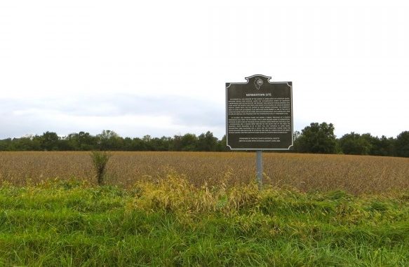
Be sure, of course, to check out the many historical sites in Nauvoo. But for a more under the radar stop, head two hours southeast to Mormontown.
After the Missouri extermination order, a group of Saints led by Silas Smith, Joseph Smith’s uncle, started a settlement before Nauvoo grew in earnest. They built a church, school, and homes. Silas died in the area.
Indiana
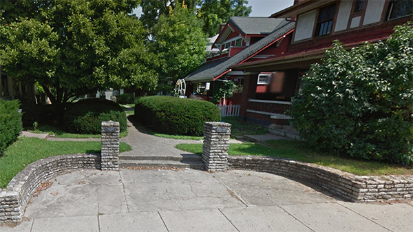
The Zion’s camp march went through Richmond, Indiana, in 1834, and the local newspaper took notice. They continued to write about the Church, eventually publishing a story that Joseph Smith lost his leg then died three years later.
Joseph and Hyrum visited the publisher but failed to convince him that Joseph was still alive. There is no remnant of the old publishing office, but you can visit the location where it stood in East Richmond.
Iowa
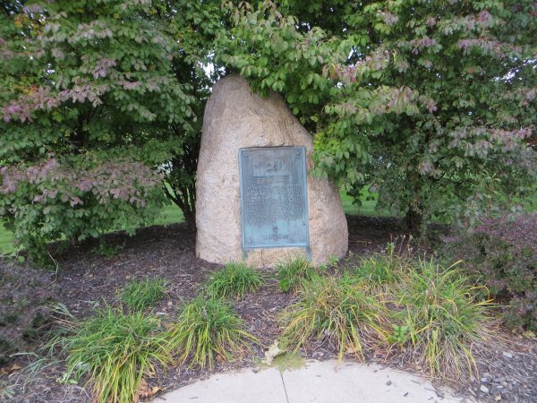
In 1856, thirteen hundred converts from Europe got off at the end of the train line and set up camp. They used camp to make handcarts and supplies for their journey. For the latter part of the pioneer era, this became the most common starting point for new pioneers leaving on their journey.
The site is northwest of Iowa City, and has been marked by the Daughters of the American Revolution.
Kansas
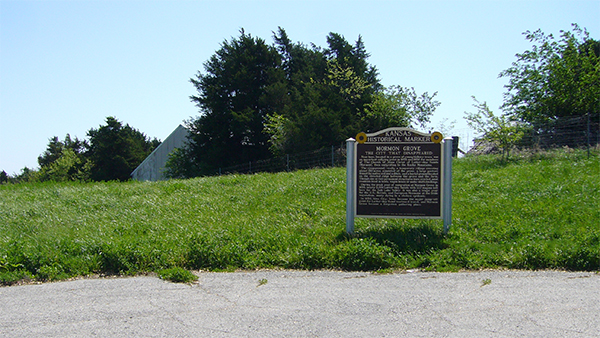
An hour northwest of Kansas City was the “city that disappeared.” Pioneers about to move west built a bustling tent city providing labor to nearby Atchison. When they left west, the city — several thousand strong — disappeared.
Today only a graveyard remains, a memorial to the difficult winter suffered there.
Kentucky
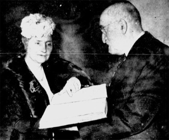
In 1936 a seven volume braille Book of Mormon was published — the first time the Book of Mormon was available to the blind. A few years later Heber J. Grant presented a copy to Helen Keller.
The publisher, the American Printing House for the Blind, still stands near downtown Louisville. Drop in tours are available from 10 am to 2 pm Monday through Thursday.
Louisiana
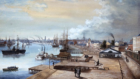
Between 1841 and 1854 the Church officially declared that New Orleans was the “port of entry” for Latter-day Saints. Serving both immigrants to Nauvoo and the Salt Lake Valley. More than 17,000 Saints arrived in the New Orleans port.
Today you can enjoy the iconic setting of that port at the “Outlet Collection at Riverwalk.”
Maine
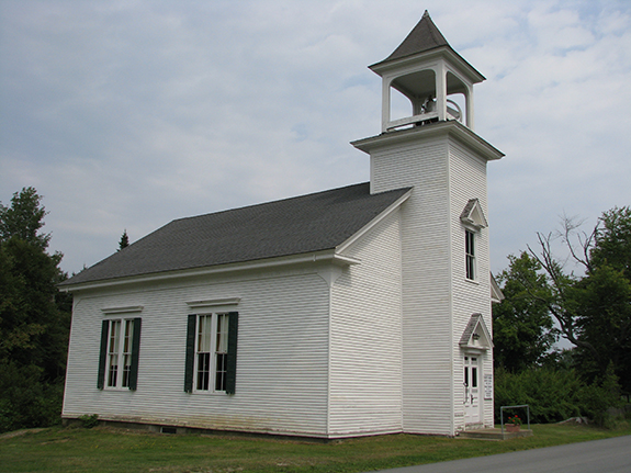
In 1837, only six weeks after being married, Wilford Woodruff felt led to a mission in the Fox Islands of Maine. When he arrived, a local took them to the Baptist Church with a sermon in progress. They announced they were there with a message from God. The pastor invited them to the front, and they preached. Though the pastor would later turn on their efforts, they converted many. A sizable LDS population still lives in the Fox Islands.
The Baptist Church where Wilford Woodruff preached still stands on Crabtree Point Road in Point Harbor and is used for services during the summer.
Maryland
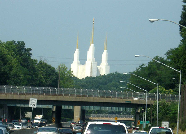
The Washington D.C. temple, which is actually located in Maryland, was the first Temple east of the Mississippi River, since the Pioneers. The temple is also the tallest in the Church.
The temple is a popular landmark on the north side of the Capital Beltway. The phrase, “Surrender Dorothy” is often spray painted on a nearby overpass due to the temple’s resemblance to the Emerald City.
Massachusetts
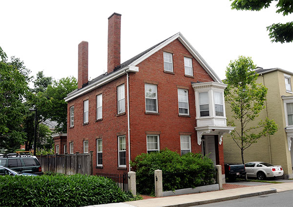
Nathaniel H. Felt joined the Church in Salem, Massachusetts, in 1843. He helped begin a branch in the area and was called as the president. His home, which still stands, was the location of many of the branch’s meetings.
The home is located in historic Salem only two blocks South of the Salem Witch Museum.
Michigan
Philip St. George Cooke was sent by the US Army to lead the Mormon Battalion. While both Cooke and the Battalion were unsure about each other at first, both groups praised each other by the end of their journey.
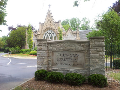
Cooke also went with the US Army as part of the Utah War but was not a primary participant. He is buried in Elmwood Cemetery in Detroit.
Minnesota
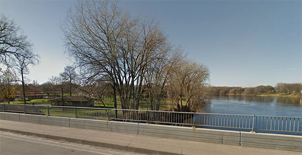
In February 1880, F.F. Hintze, a missionary from Big Cottonwood Utah, performed a miracle. One of the four men he baptized had previously been bedridden. But according to local historian, Kenneth Bjork, after the baptism the man began to immediately recover, and by the next day could walk without a cane!
While the precise location is impossible to know. Based on available accounts, if you visit West Bridge Park in Monticello, Minnesota, and look out at the Mississippi River, you are looking very near the place the man was baptized and the miracle occurred.
Mississippi
Missionaries began preaching in Mississippi as early as 1839, and by 1842 a branch of the Church was founded in what is now called “Mormon Springs.” The Saints from the area left to join the other pioneers in Winter Quarters, but instead ended up being the first Saints to arrive West, establishing a colony in Pueblo, Colorado.
A marker is set up near where the branch performed baptisms 25 minutes east of Aberdeen, Mississippi.
Missouri
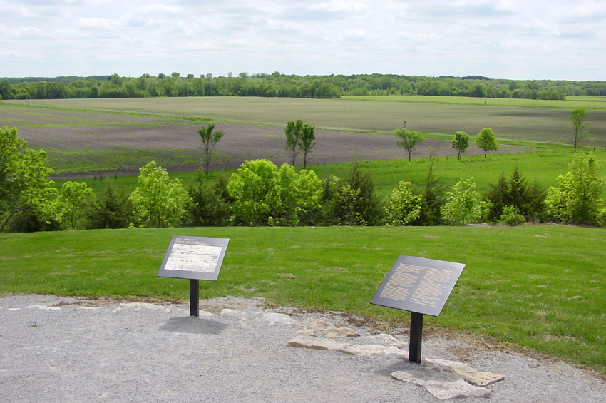
If you are in Missouri, you have no shortage of Church history sites to visit, including Independence, Far West, and Hawns Mill.
But make sure you also check out Adam-ondi-Ahman. Joseph Smith declared that this was the location Adam and Eve lived in after being sent out of the Garden of Eden. Today the Church owns much of the idyllic property that includes several historic markers and walking trails.
Montana
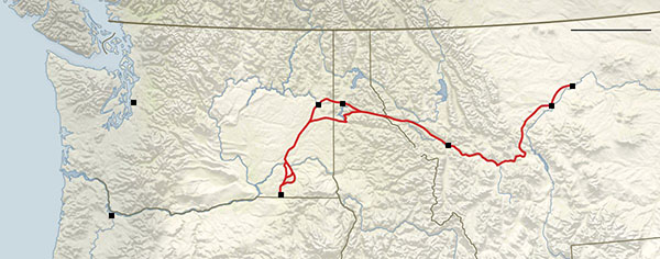
An LDS couple, the Millers, travelled from Salt Lake to Walla Walla, Washington, via Missoula to visit family in 1859 on the brand new Mullan Road, completed that year.
They helped house one lost traveler on the way, who reported that Mrs. Miller was the first white woman to cross through Montana.
A marker detailing the Mullan Road that the Millers used can be seen near Elliston, Montana, just east of where the Millers traveled.
Nebraska
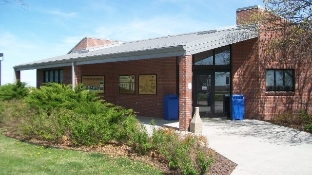
If you are interested in Church History in Nebraska, make sure you visit the impressive Winter Quarters historic site and temple. But at a rest stop two hours west, you can see the trail the Saints traveled west along.
This specific location contains a marked grave, as well as a bison skull the advance party had written instructions on.
Nevada
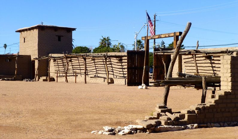
Las Vegas may now be well known as the city of sin, but it was in fact founded by LDS missionaries. A fort built near Las Vegas Springs served as a halfway point between Salt Lake and Los Angeles for many years.
The site is now a state historic park, with a museum and many original artifacts displayed in the space. The fort is only a five-minute drive from downtown Las Vegas.
New Hampshire
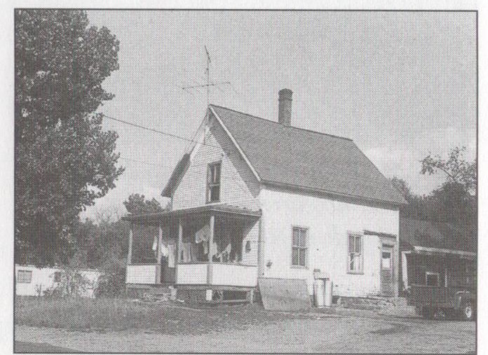
Lebanon, New Hampshire, is the home of one of the most important stories of Joseph Smith’s childhood. Struck with typhoid, Joseph had a portion of his leg bone removed. He would walk with a limp the rest of his life.
Unfortunately, the home Joseph Smith lived in at the time was torn down in 1967. But the location is directly off I-89 near the Vermont-New Hampshire border.
New Mexico
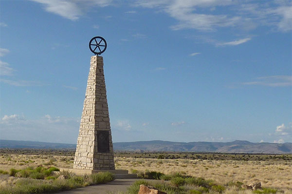
The Mormon Battalion had their first major stop in Santa Fe, New Mexico. There they met up with their commander Philip St. George Cooke. Cooke divided the group, with some going nRorth to winter, and others moving forward.
A monument near their camp location can be found about halfway between present Santa Fe and Albuquerque.
New Jersey
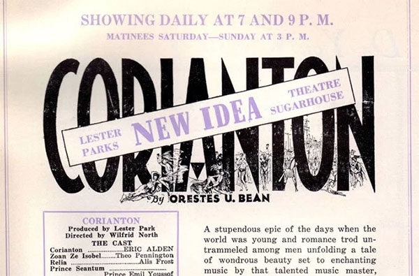
“Corianton,” a retelling of the story of Alma and his rebellious son Corianton, came out in 1931, the first LDS film with sound. The film ran into many financial troubles as it’s production schedule ran into the great depression.
The film was produced at Metropolitan Sound Studios in New Jersey that worked with many minority groups ignored by Hollywood.
New York
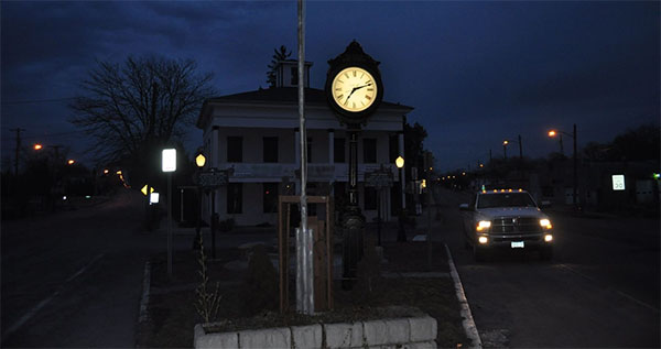
New York is home to some of the most important Church history sites. Be sure to see the Sacred Grove, Joseph Smith farm, Martin Harris home, and Grandin printing press.
But many visitors leave without checking out the Brigham Young home just 50 minutes east of Palmyra. The beginnings of the second Prophet are certainly worth seeing and understanding.
North Carolina
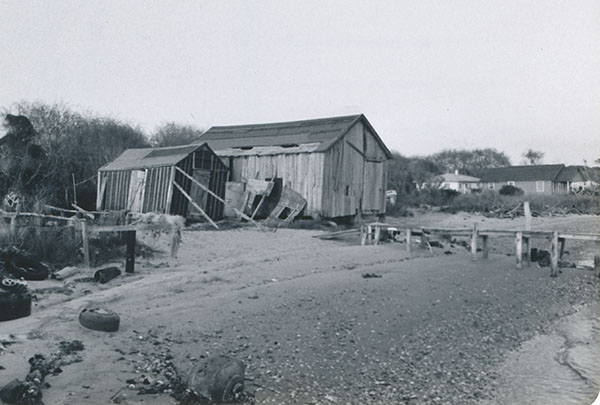
This small island off of the southern North Carolina coast has the greatest concentration of Latter-day Saints on the east coast. How they survived there is among the great pioneer stories.
Early missionaries had found limited success on Harker’s Island, but when they returned to help those displaced by the hurricane, many were open to something new. Dozens joined the Church. But this success did not go unnoticed, and tensions boiled over until in 1906 members were tricked away so their building could be burned.
Tensions continued to rise, the missionaries were forcefully removed, and the first presidency instructed members to worship only in private. Slowly, and through the strength of their example, the local members won the community to their side. By 1936 a new chapel had been built.
North Dakota
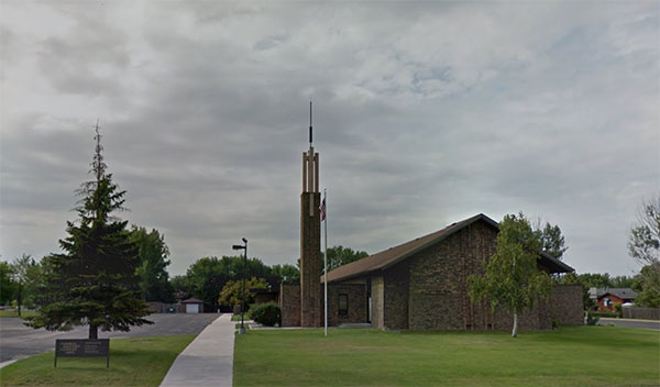
On August 7, 1977, the first stake in North Dakota was organized in Fargo. This meant every state in the United States now had a stake organized in it’s borders.
The momentous stake center can be found near Fargo’s city center, ten minutes south of the North Dakota Stake University.
Ohio
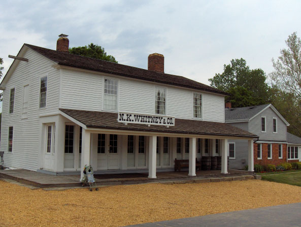
The name “Newel K. Whitney” store doesn’t hint at how essential this location was in Church history. Joseph Smith lived here for a time. The store served as Church headquarters. And the Word of Wisdom and the oath and covenant of the priesthood were revealed here.
In all, six buildings have been restored or rebuilt in historic Kirtland. Check them all out, and also be sure to head ten minutes south to the Kirtland temple.
Oklahoma
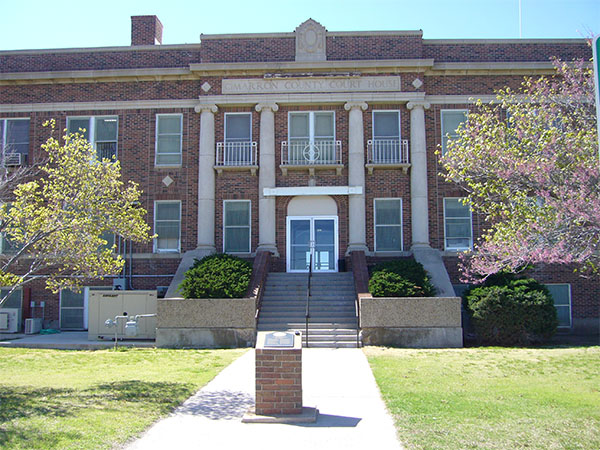
Oklahoma served as an early struggle for the Mormon Battalion. After following the Cimarron river for a week, they reached Cimarron crossing. They were forced to abandon mules, horses, and oxen that couldn’t cross.
The relationship with their leader Lieutenant AJ Smith had deteriorated to the point that the day they crossed the Cimarron, he said he didn’t have five friends in camp.
A commemorative marker of these struggles is in Boise City in Cimarron county.
Oregon
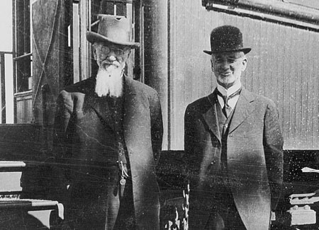
In 1898, Charles Nibley, who would later serve as presiding bishop, led a group of investors to start a sugar beet refining company in northeast Oregon. When the company couldn’t secure enough beets, they provided land to incentivize Utah beet farmers to move to the area, leading to a large LDS community in the area until the company closed in 1906.
Today the area is idyllic farmland between two forks of the Grande Ronde river 15 minutes east of La Grande, Oregon.
Pennsylvania
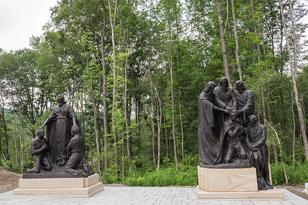
The Aaronic Priesthood restoration site is among the premier historic sites available for Latter-day Saints.
The site boasts a visitor center; Emma Hale’s childhood home; the home she and Joseph lived in after they married, and where most of the Book of Mormon was translated; several statues, and of course, a marker at the location of the Aaronic Priesthood Restoration.
The full site was only completed in late 2015. You can plan your trip ahead with this handy interactive map of the site.
Rhode Island
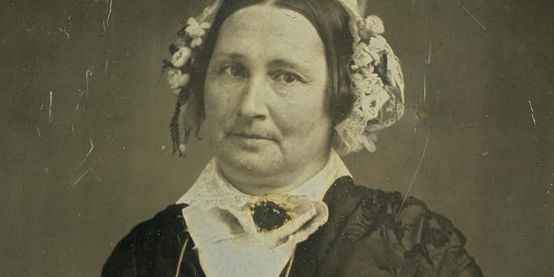
After Brigham Young’s first wife passed away, while he was still young, he married Mary Ann Angell. She was the wife that first permitted his practice of polygamy.
Mary Ann, who spent most of her early life in New York, lived briefly in Rhode Island. But it was during that time that she heard Thomas B. Marsh, then serving as a missionary, mention the Book of Mormon. She became so curious she moved back to New York to be near the new church.
South Carolina
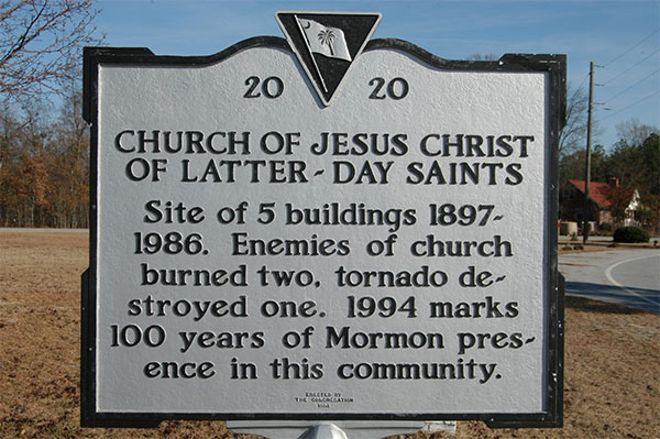
In Centerville, South Carolina, as the Church struggled to establish itself, mobs burned down the building in 1897. The Saints rebuilt the chapel. Opponents burned it again in 1899. As if this wasn’t enough, on their third try natural disaster struck, when a tornado knocked down the building!
In 1994, the local ward placed a marker at the location of the destroyed buildings, just northeast of Columbia, South Carolina.
South Dakota
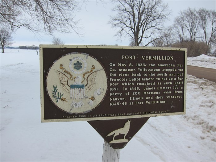
In 1845, James Emmett led a group of 100 saints exploring potential new locations to settle. They became the first Anglo-Saxon settlement in all of South Dakota when they settled Fort Vermillion.
Because Joseph had asked him to scout a new location, Emmett felt he was the rightful leader of the Church at his death. But he soon realized the errors of his way and traveled to be with the remainder of the Saints.
Tennessee
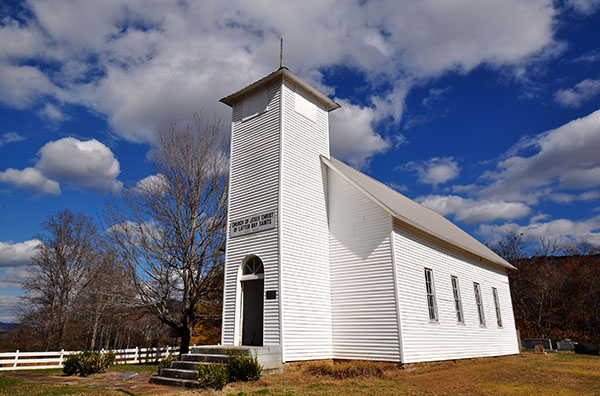
Tennessee is home to the oldest standing LDS Church in the southeast US. Members had suffered much persecution in the area, and the building represented a new understanding, with some neighbors of other faiths helping with construction. John Tipton, a new convert, sold the land to the church for $1.
Today the Northcutts Cove Chapel is no longer used for regular services, though it’s still used for wedding receptions and funerals. The chapel was added to the National Register of Historic Places in 1979
Texas
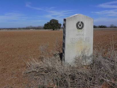
Joseph Smith asked Lyman Wight, who had been called as an apostle in Nauvoo, to find a potential settlement for the Saints. After Joseph died, Wight left for Texas. They built a mill and the jail in Austin and founded a city called Zodiac.
Brigham Young invited Wight to rejoin the saints, but Wight rejected the prophet and was excommunicated. Zodiac soon died out, with some of Wight’s former followers moving to Utah.
The only thing remaining from Zodiac is a cemetery and marker, though they are both on private property.
Location of Zodiac: 30°13’29.0″N 98°47’37.0″W
Marker Explaining the History: 30° 16.428′ N, 98° 52.05′ W
Utah
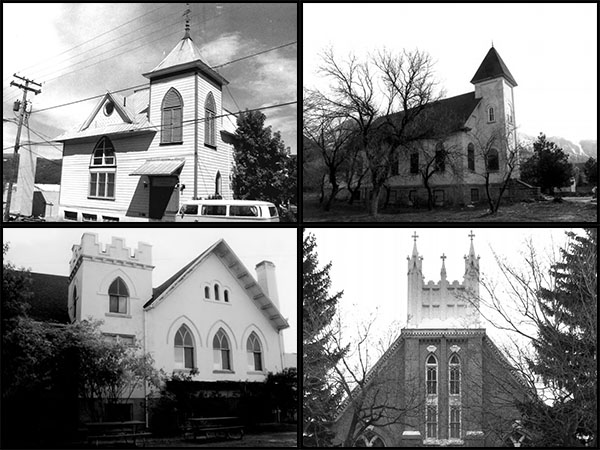
There is certainly no shortage of church history in Utah. If you’re visiting from out of town, make sure to hit up Temple Square and the “This is the Place” monument.
But there is so much interesting church history just below the surface. Let me suggest checking out these four church buildings on the National Register of Historic Places. Clockwise, starting with top left:
Blue Church Lodge. Park City. This utilitarian wood Gothic building painted in a distinctive blue, is now a bed and breakfast, though some of the historic details, such as pews still remain.
Granite Ward Chapel. Sandy. The style is Victorian Romanesque Revival which was common for early 20th century LDS churches, but this is one of the best still-standing examples.
Murray Second Ward. Murray. This vernacular Gothic Revival-style building features the “T” layout common to LDS buildings from 1900-1910. This building features a striking crenelated parapet tower and Gothic-arched windows.
Logan Sixth Ward. Logan. The most striking detail is the Salt Lake City temple model atop the main tower, one of the few ritual decorations found in the designs of LDS chapels.
Vermont
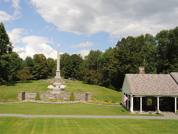
A granite obelisk, one foot tall for each year of Joseph Smith’s life, along with a visitor center mark the location of Joseph Smith’s birth outside of modern Royalton. The monument was built commemorating the 100th anniversary of Joseph’s birth.
While in the area, consider also seeing Brigham Young’s birthplace two hours south.
Virginia
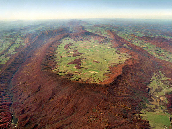
Burke’s Garden, Virginia, became known among missionaries as “The Nest” for the huge number of converts made in the area during the early 1840s. Peter and Sarah Gose Litz, the first couple to join the Church in the area, both had heavenly visitors testify of the missionary’s message.
An unnamed visitor told Peter to “doubt no more,” while the Angel Moroni appeared to Sarah testifying of the gospel’s truth.
Today, Burke’s Garden remains an isolated farming community, though you can visit the historic general store, and the Lutheran church the Litzes attended before their conversion.
Washington
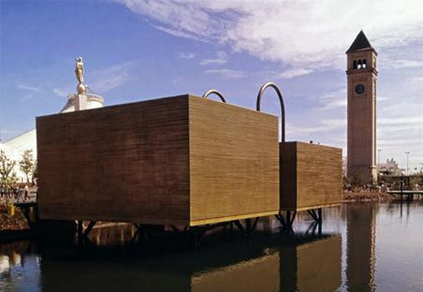
More than 5 million people from around the world visited the Mormon pavilion at the Spokeane World’s Fair between May and November of 1974. The Mormon exhibit featured a statue of Moroni in the front, and two buildings designed to look like the gold plates.
Twenty-one nearby stakes sent more than two thousand dancers to the fair for as part of “Mormon Week.” Many of the buildings from the expo still stand, and the steps built to the Mormon pavilion (which stood on the water) are still in the idyllic River Front Park.
West Virginia
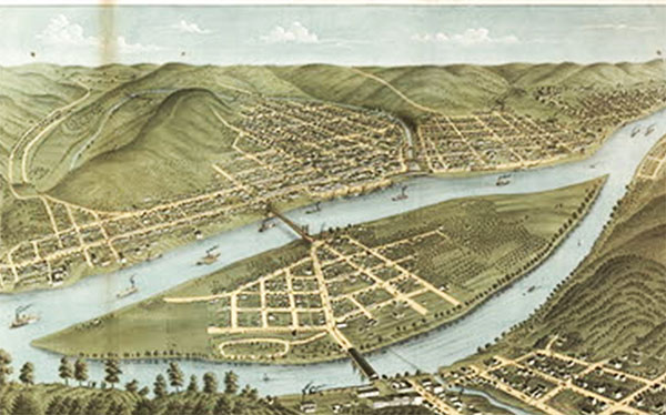
In 1832, Joseph Smith traveled to Wheeling, West Virginia, to buy the paper to print the first run of The Book of Commandments, an early version of the Doctrine & Covenants.
The paper mill stood on the corner of Main and 23rd Street but is no longer there.
Wisconsin
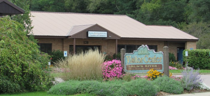
Wisconsin is the home of the first African American Latter-day Saint NBA player, but Wisconsin’s LDS history runs deep. With few lumber resources in Nauvoo, Latter-day Saints went to Wisconsin to purchase timber to build up the city, including the temple.
Latter-day Saints even bought the Spaulding mill for a time. Today the Black River Falls Chamber of Commerce stands at the original location of the Spaulding mill.
Wyoming
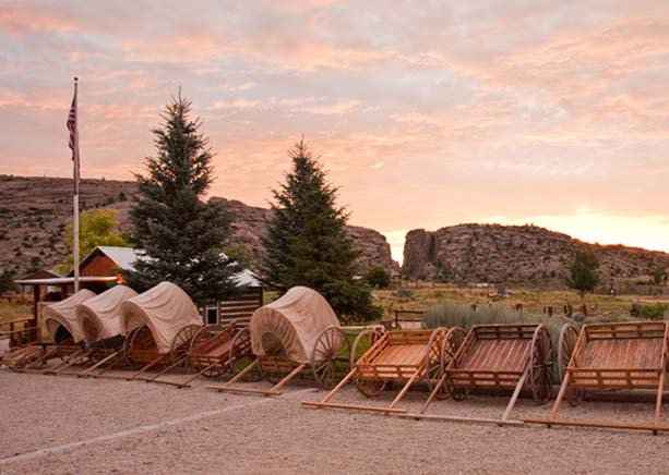
Martin’s Cove was the location of one of the worst disasters in pioneer history. The Martin Handcart company was met there by rescuers sent by Brigham Young. But only after many of the pioneers had died.
Today, Martin’s Cove is listed in the National Register of Historic Places, and the Church has built a visitor center to commemorate the faith and sacrifice of the pioneers. The visitor center also has access to the Mormon Trail which you can see and walk along.


